
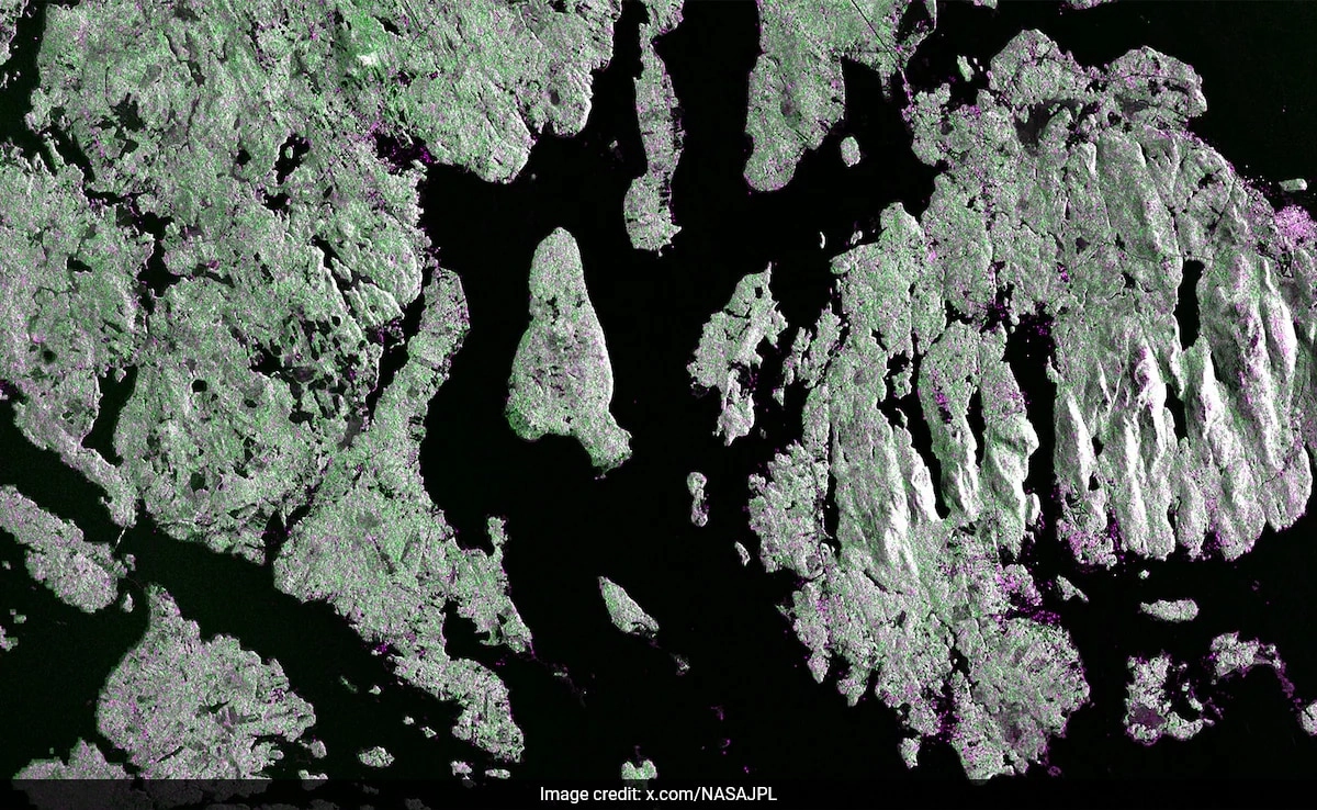
NASA and ISRO recently unveiled the first radar images of Earth’s surface captured by their collaborative satellite mission. This groundbreaking project highlights the capabilities of radar technology in providing detailed and high-resolution imagery of our planet. The satellite, equipped with advanced synthetic aperture radar (SAR), offers a unique perspective that is not only valuable for scientific research but also for various applications such as agriculture, urban planning, disaster management, and environmental monitoring.
The initial images reveal a stunning array of landscapes, showcasing everything from dense forests and sprawling urban areas to intricate river systems and agricultural fields. The radar’s ability to penetrate through clouds and operate in all weather conditions makes it an invaluable tool for continuous monitoring of the Earth’s surface. This feature is particularly significant for regions that frequently experience adverse weather, where traditional optical imaging fails. The data collected can be utilized to analyze changes over time, providing essential insights into land use, deforestation rates, and the impacts of climate change.
Moreover, the collaboration between NASA and ISRO symbolizes a significant step forward in international cooperation for space exploration and Earth observation. By combining their expertise and technological advancements, the two agencies aim to enhance global understanding of our planet and its dynamic systems. As this project progresses, researchers anticipate that the data generated will contribute to a wealth of scientific studies, ultimately benefiting humanity by improving our response to natural disasters and managing our resources more effectively. The implications of such radar imagery extend far beyond mere visuals; they represent a leap toward more informed decision-making in the face of global challenges.


